發布:2025-05-16 瀏覽:0
自然資源調查監測,自然資源監測是在基礎調查和專項調查形成的自然資源本底數據基礎上,重點查清自然資源自身變化及人類活動引起的變化情況,實現“早發現、早制止、嚴打擊”的監管目標。涵蓋了山、水、林、田、湖、草等多種自然資源要素。其核心在于對這些資源的詳盡調查與持續監測,旨在為自然資源管理、生態文明建設和經濟社會發展提供堅實可靠的基礎數據支撐。
Natural resource investigation and monitoring, based on the natural resource background data formed by basic and special investigations, focuses on identifying changes in natural resources themselves and changes caused by human activities, in order to achieve the regulatory goal of "early detection, early prevention, and strict crackdown". It covers various natural resource elements such as mountains, water, forests, fields, lakes, and grasses. Its core lies in the detailed investigation and continuous monitoring of these resources, aiming to provide solid and reliable basic data support for natural resource management, ecological civilization construction, and economic and social development.
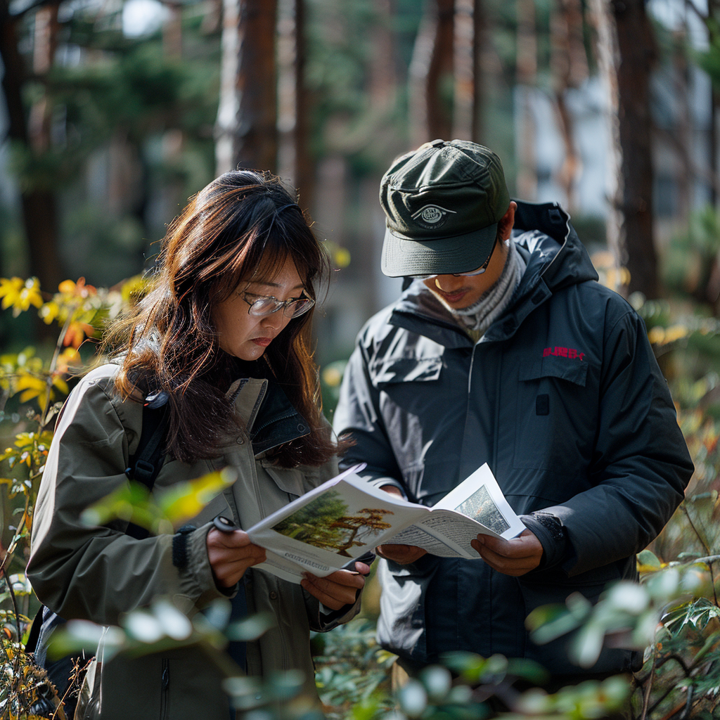
森林、草原和濕地的健康狀況直接關系到生態環境的平衡與穩定。為了全面掌握這些自然資源的現狀及其變化趨勢,城市國土空間監測體系特別加強了對森林、草原和濕地的專項調查監測。通過運用先進的遙感技術,結合地面實地考察,監測團隊對各類自然資源的面積、分布、生長狀況以及生態環境質量進行了深入細致的探查。這些數據不僅為生態保護提供了科學依據,還有助于推動生態修復和環境保護工作的有效開展。
The health status of forests, grasslands, and wetlands is directly related to the balance and stability of the ecological environment. In order to comprehensively grasp the current status and changing trends of these natural resources, the urban land spatial monitoring system has particularly strengthened the special investigation and monitoring of forests, grasslands, and wetlands. Through the use of advanced remote sensing technology and ground field investigations, the monitoring team conducted in-depth and detailed exploration of the area, distribution, growth status, and ecological environment quality of various natural resources. These data not only provide scientific basis for ecological protection, but also help promote the effective implementation of ecological restoration and environmental protection work.
")
運用到的地面物聯監測網絡技術:
Ground IoT monitoring network
生態傳感終端
Ecological sensing terminal
部署土壤墑情監測站(測量深度1m)、樹干液流計(熱擴散式)、CO2通量塔
Deploy soil moisture monitoring station (measuring depth of 1m), trunk sap flow meter (thermal diffusion type), CO2 flux tower
實時傳輸溫度/濕度/光合速率等300+參數,采樣頻率達1Hz
Real time transmission of 300+parameters such as temperature/humidity/photosynthetic rate, with a sampling frequency of 1Hz
智能巡護系統
Intelligent patrol system
華為AI巡護終端集成紅外相機(探測距離500m)、北斗定位(精度1m)
Huawei AI patrol terminal integrates infrared camera (detection distance 500m) and Beidou positioning (accuracy 1m)
自動識別盜伐車輛聲紋特征,報警響應時間<3秒
Automatically identify the voiceprint features of illegally hacked vehicles, with an alarm response time of less than 3 seconds
自然資源調查監測是生態文明建設、空間規劃編制、供給側結構性改革、宏觀調控、自然資源管理體制改革、國土空間用途管制、國土空間生態修復、空間治理能力現代化和國土空間規劃體系建設等工作。
Natural resource survey and monitoring refer to the construction of ecological civilization, spatial planning, supply side structural reform, macroeconomic regulation, reform of natural resource management system, control of land use, ecological restoration of land space, modernization of spatial governance capacity, and establishment of land spatial planning system.
本文由森林資源資產評估友情奉獻.更多有關的知識請點擊:http://www.readstietime.com我們將會對您提出的疑問進行詳細的解答,歡迎您登錄網站留言.
This article is contributed by the Friendship Contribution of Forest Resource Asset Evaluation For more information, please click: http://www.readstietime.com We will provide detailed answers to your questions. You are welcome to log in to our website and leave a message